
Sell land in St Ives
For owners of land in and around St Ives, we offer four ways to sell, from a clean outright purchase to deals that pay more once planning is granted.
St Ives (PE27) sits in OS grid square TL37, some 18 miles south-east of Peterborough. Sites between here and Huntingdon or Cambridge are just as much of interest to us.
- Free appraisal and written offer
- Four ways to sell
- Figures you can check
Selling land near St Ives?
Send the postcode and a rough size.
St Ives at a glance
| Town | St Ives |
|---|---|
| County | Cambridgeshire |
| Country | England |
| Postcode district | PE27 |
| OS grid square | TL37 |
| Nearest towns we cover | Huntingdon (5 mi), St Neots (11 mi), Cambridge (12 mi) |
| Distance from Peterborough | About 18 miles south-east |
| Planning system | National Planning Policy Framework and local plan |
| Ways to sell | Outright, subject to planning, option or joint venture |
Land we buy in St Ives
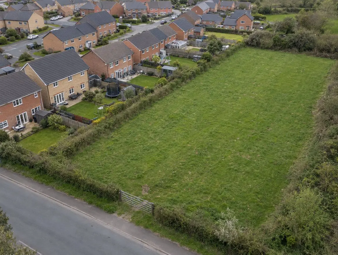
From building plots to larger sites on the edge of St Ives.
Land with development potential
Rural and agricultural land
Plots and small sites
Brownfield and commercial land
Awkward and inherited land
Towns near St Ives
Distances and directions are measured from St Ives.
| Town | Postcode district | OS grid square | Distance |
|---|---|---|---|
| Huntingdon | PE28 | TL27 | 5 mi west |
| St Neots | PE19 | TL15 | 11 mi south-west |
| Cambridge | CB21 | TL45 | 12 mi south-east |
| Ely | CB7 | TL58 | 15 mi east |
| Whittlesey | PE7 | TL29 | 16 mi north |
| Primrose Place | PE7 | TL29 | 16 mi north |
Rules that apply in England
Planning framework
Planning decisions in England follow the National Planning Policy Framework, revised in August 2026, and the local plan, prepared by the council or, in a national park, the park authority. Plans are reviewed periodically, which is when new housing sites are usually allocated.
Flood risk
Environment Agency flood maps and the sequential test steer new homes away from areas at highest risk of flooding.
Land registration
Land in England is registered with HM Land Registry. Unregistered land needs first registration when it's sold, which your solicitor arranges.
From first call to completion
Tell us about your land
Send the postcode or address and a rough size.
We check it properly
Title, planning history, access, flood maps and local policy.
You get a written offer
With the main figures behind it, so your adviser can check it.
Solicitors complete the sale
Exchange and complete, or exchange now and complete when planning is granted.
What people ask us about land
Do you buy land in St Ives?
Yes. We consider land in and around St Ives and across Cambridgeshire. Whether we can make an offer depends on the land itself, especially its access and planning prospects, and we'll tell you either way.
How do I get an offer for land in St Ives?
Use the form on this page or call 0800 088 6248. Tell us the postcode, the rough size and anything you know about planning, and we'll come back to you.
How fast can I sell my land?
It depends on the land and the deal. A straightforward outright sale of registered land with no tenants can move as fast as the two solicitors can complete the legal work. Unregistered titles, tenancies, access questions and planning conditions all add time. We won't promise a completion date until we've seen the title.
Is my paddock worth more than agricultural land?
Often, because paddocks are close to houses. How much more depends on access, planning policy and whether homes could realistically be built.
Find out what we'd pay for your land near St Ives
Send the postcode and a rough size. We'll check the title and planning position and come back to you.