
Sell land in St Neots
We buy land across Cambridgeshire. In St Neots, as everywhere, the offer depends on the land itself: its access, its planning prospects and what can sensibly be built.
St Neots lies in Cambridgeshire, roughly 25 miles south of Peterborough. Nearby, we also look at land around Sandy (6 miles), Huntingdon (9 miles) and Biggleswade (9 miles).
- Four ways to sell
- No commission: we're the buyer
- Figures you can check
Selling land near St Neots?
Send the postcode and a rough size.
St Neots at a glance
| Town | St Neots |
|---|---|
| County | Cambridgeshire |
| Country | England |
| Postcode district | PE19 |
| OS grid square | TL15 |
| Nearest towns we cover | Sandy (6 mi), Huntingdon (9 mi), Biggleswade (9 mi) |
| Distance from Peterborough | About 25 miles south |
| Planning system | National Planning Policy Framework and local plan |
| Ways to sell | Outright, subject to planning, option or joint venture |
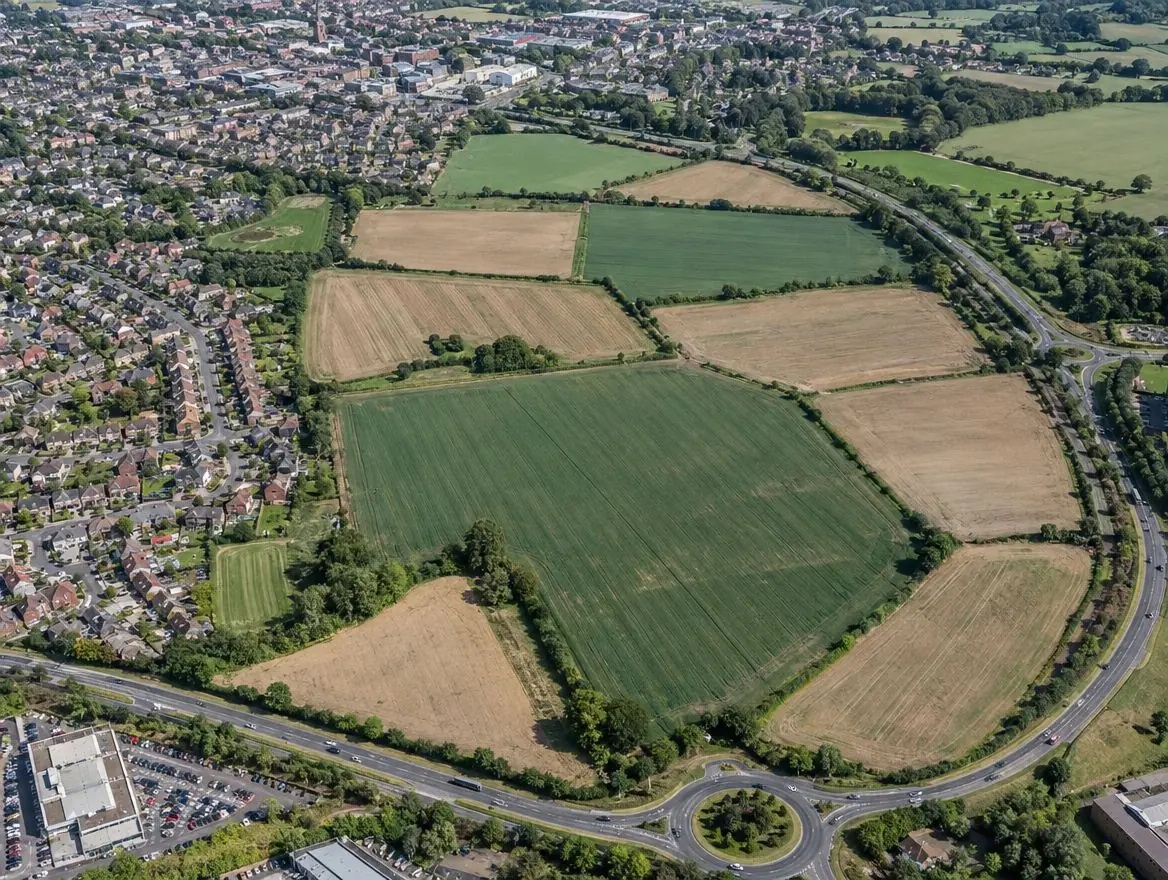
Land we buy in St Neots
Each page explains what we look for, what affects the price and the rules that apply.
Land with development potential
Rural and agricultural land
Plots and small sites
Brownfield and commercial land
Awkward and inherited land
Nearby towns we cover
Distances and directions are measured from St Neots.
| Town | Postcode district | OS grid square | Distance |
|---|---|---|---|
| Sandy | SG19 | TL14 | 6 mi south |
| Huntingdon | PE28 | TL27 | 9 mi north-east |
| Biggleswade | SG18 | TL14 | 9 mi south |
| Bedford | MK40 | TL04 | 10 mi south-west |
| St Ives | PE27 | TL37 | 11 mi north-east |
| Kempston | MK42 | TL04 | 12 mi south-west |
Planning and legal points for land in Cambridgeshire
Green belt and grey belt
Green belt land is protected from inappropriate development. National policy in England also recognises 'grey belt': green belt land that doesn't strongly contribute to key green belt purposes, where housing can be acceptable if further tests are met.
Biodiversity net gain
Under the Environment Act 2021, most developments in England must deliver at least a 10% gain in biodiversity. Since 6 August 2026, sites of 0.2 hectares or less are exempt unless priority habitat is affected.
Flood risk
Environment Agency flood maps and the sequential test steer new homes away from areas at highest risk of flooding.
What happens next
Tell us about your land
Send the postcode or address and a rough size.
We do the homework
We read the title and planning record and check flood risk and access.
We put an offer in writing
It shows how we got there. There's no obligation to accept.
Solicitors complete the sale
Exchange and complete, or exchange now and complete when planning is granted.
Common questions
Can you visit land near St Neots?
Yes. Once we've looked at the title and planning position, we arrange a site visit if the land looks suitable. Send the address or postcode to start.
Do you cover the villages around St Neots?
Yes. Villages between St Neots, Sandy and Huntingdon often have the kind of edge-of-settlement land we're looking for.
Do you charge any fees?
No. We're the buyer, not an agent, so there's no commission. You normally pay your own solicitor's fees unless we agree otherwise in writing.
What is a rural exception site?
It is a small site, usually next to a village, where planning permission can be granted for affordable homes as an exception to normal policy, to meet a proven local need.
Find out what we'd pay for your land near St Neots
Send the postcode and a rough size. We'll check the title and planning position and come back to you.