
Sell land in Diss
If you want to sell land in Diss, you can deal with the buyer directly. We look at the land, explain what it's worth and why, and leave the decision with you.
Our appraisals for Diss start with the IP22 postcode district and the OS grid square TM17, then widen out to Attleborough, Stowmarket and Thetford, all within about 15 miles.
- Free appraisal and written offer
- Four ways to sell
- Figures you can check
Selling land near Diss?
Send the postcode and a rough size.
Diss at a glance
Mainly arable farmland, with the Broads in the east and the Norfolk Coast National Landscape. Nutrient rules have affected new housing in parts of the county.
| Town | Diss |
|---|---|
| County | Norfolk |
| Country | England |
| Postcode district | IP22 |
| OS grid square | TM17 |
| Nearest towns we cover | Attleborough (11 mi), Stowmarket (14 mi), Thetford (15 mi) |
| Distance from Norwich | About 19 miles south-west |
| Planning system | National Planning Policy Framework and local plan |
| Ways to sell | Outright, subject to planning, option or joint venture |
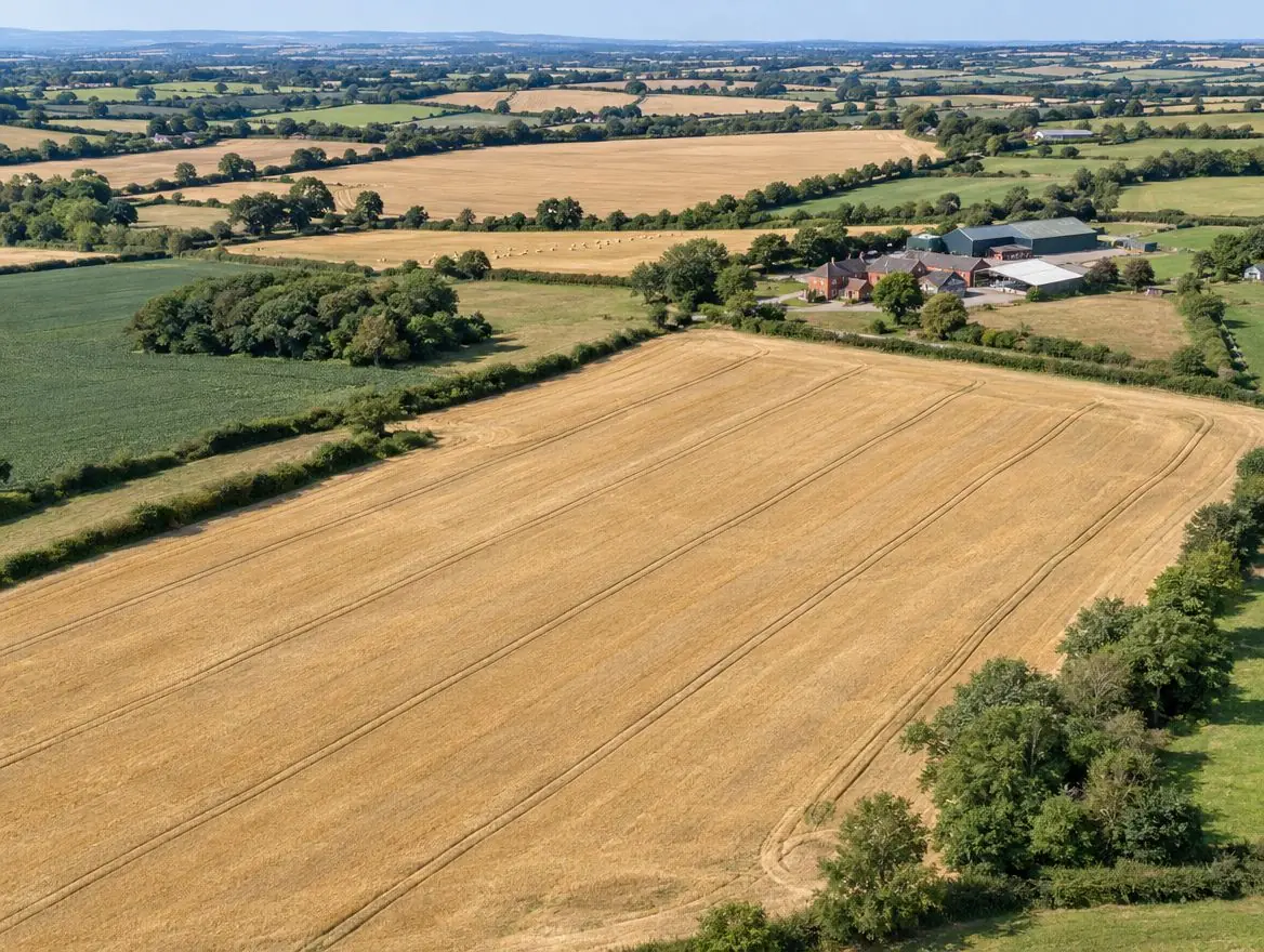
Land we buy in Diss
Each page explains what we look for, what affects the price and the rules that apply.
Land with development potential
Rural and agricultural land
Plots and small sites
Brownfield and commercial land
Awkward and inherited land
Other towns around Diss
Distances and directions are measured from Diss.
| Town | Postcode district | OS grid square | Distance |
|---|---|---|---|
| Attleborough | NR17 | TM09 | 11 mi north |
| Stowmarket | IP14 | TM05 | 14 mi south |
| Thetford | IP24 | TL88 | 15 mi west |
| Bury St Edmunds | IP32 | TL86 | 19 mi south-west |
| Norwich | NR2 | TG20 | 19 mi north-east |
| Beccles | NR34 | TM49 | 20 mi east |
Rules that apply in England
Green belt and grey belt
Green belt land is protected from inappropriate development. National policy in England also recognises 'grey belt': green belt land that doesn't strongly contribute to key green belt purposes, where housing can be acceptable if further tests are met.
Flood risk
Environment Agency flood maps and the sequential test steer new homes away from areas at highest risk of flooding.
Land registration
Land in England is registered with HM Land Registry. Unregistered land needs first registration when it's sold, which your solicitor arranges.
What happens next
Tell us about your land
Send the postcode or address and a rough size.
We do the homework
We read the title and planning record and check flood risk and access.
You get a written offer
With the main figures behind it, so your adviser can check it.
Solicitors complete the sale
Exchange and complete, or exchange now and complete when planning is granted.
What people ask us about land
Can you visit land near Diss?
Yes. Once we've looked at the title and planning position, we arrange a site visit if the land looks suitable. Send the address or postcode to start.
Do you cover the villages around Diss?
Yes. Villages between Diss, Attleborough and Stowmarket often have the kind of edge-of-settlement land we're looking for.
Can I sell just part of my land?
Yes. Selling one field, the end of a garden or part of a yard is common. Your solicitor will make sure the land you keep has the access and services it needs.
What is Class Q?
Class Q is a permitted development right in England that allows some agricultural buildings to become homes through a prior approval process, rather than a full planning application, subject to limits and conditions.
Find out what we'd pay for your land near Diss
Send the postcode and a rough size. We'll check the title and planning position and come back to you.