
Sell land in Aberdare
For owners of land in and around Aberdare, we offer four ways to sell, from a clean outright purchase to deals that pay more once planning is granted.
The land we're most interested in near Aberdare sits on the edge of the built-up area or in the villages towards Rhondda (4 miles) and Merthyr Tydfil (4 miles).
- Free appraisal and written offer
- Four ways to sell
- Figures you can check
Selling land near Aberdare?
Send the postcode and a rough size.
Aberdare at a glance
| Town | Aberdare |
|---|---|
| County | Mid Glamorgan |
| Country | Wales |
| Postcode district | CF44 |
| OS grid square | SN90 |
| Nearest towns we cover | Rhondda (4 mi), Merthyr Tydfil (4 mi), Tonypandy (6 mi) |
| Distance from Rhondda | About 4 miles north |
| Planning system | Planning Policy Wales and Local Development Plan |
| Ways to sell | Outright, subject to planning, option or joint venture |
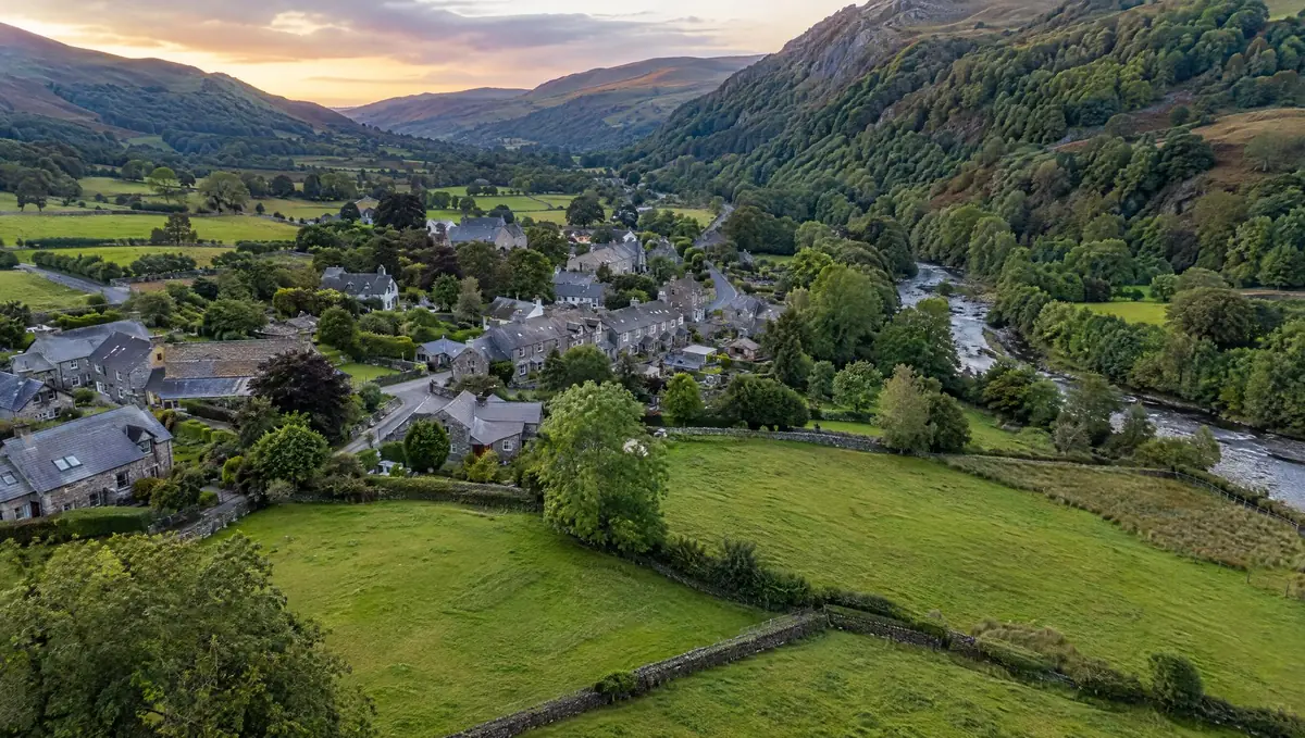
Land we buy in Aberdare
Each page explains what we look for, what affects the price and the rules that apply.
Land with development potential
Rural and agricultural land
Plots and small sites
Brownfield and commercial land
Awkward and inherited land
Towns near Aberdare
Distances and directions are measured from Aberdare.
| Town | Postcode district | OS grid square | Distance |
|---|---|---|---|
| Rhondda | CF42 | SS99 | 4 mi south |
| Merthyr Tydfil | CF47 | SO00 | 4 mi north-east |
| Tonypandy | CF40 | SS99 | 6 mi south |
| Glyn-neath | SA11 | SN80 | 8 mi west |
| Gelligaer | CF82 | ST19 | 9 mi south-east |
| Pontypridd | CF37 | ST09 | 9 mi south-east |
What Wales's rules mean for your land
Planning framework
Planning in Wales follows Planning Policy Wales, the national plan Future Wales and the Local Development Plan, prepared by the council or, in a national park, the park authority. When plans are reviewed, landowners can put land forward as a candidate site.
Green belts and green wedges
England's grey belt rules don't apply in Wales. Planning Policy Wales sets out green belt and green wedge policy, which strongly restricts development.
Land registration
HM Land Registry covers Wales as well as England. Unregistered land needs first registration when it's sold.
From first call to completion
Send us the address
A postcode, a plan or a what3words location is enough to start.
We do the homework
We read the title and planning record and check flood risk and access.
You get a written offer
With the main figures behind it, so your adviser can check it.
The legal work
Your solicitor and ours handle the contract through to completion.
Your questions answered
Can you visit land near Aberdare?
Yes. Once we've looked at the title and planning position, we arrange a site visit if the land looks suitable. Send the address or postcode to start.
Do you cover the villages around Aberdare?
Yes. Villages between Aberdare, Rhondda and Merthyr Tydfil often have the kind of edge-of-settlement land we're looking for.
How do you work out what my land is worth?
For land with development potential we estimate what the finished homes would sell for and deduct the costs of planning, building, finance, obligations and a profit margin. What's left is the land value. For land without a planning prospect, value is based on its current use.
Can garage sites be turned into homes?
Often, yes. Many councils support redeveloping underused garage courts, subject to access, overlooking and parking.
More of Mid Glamorgan
Find out what we'd pay for your land near Aberdare
Send the postcode and a rough size. We'll check the title and planning position and come back to you.