
Sell land in Hereford
If you own land near Hereford, we can usually tell you quite quickly whether it suits us, and if it doesn't, we'll say why.
Hereford (HR1) sits in OS grid square SO54, where it is the main town we cover. Sites between here and Ross-on-Wye or Monmouth are just as much of interest to us.
- Free appraisal and written offer
- Four ways to sell
- Figures you can check
Selling land near Hereford?
Send the postcode and a rough size.
Hereford at a glance
| Town | Hereford |
|---|---|
| County | Herefordshire |
| Country | England |
| Postcode district | HR1 |
| OS grid square | SO54 |
| Nearest towns we cover | Ross-on-Wye (12 mi), Leominster (12 mi), Monmouth (17 mi) |
| Planning system | National Planning Policy Framework and local plan |
| Ways to sell | Outright, subject to planning, option or joint venture |
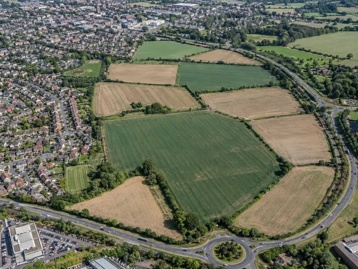
Land we buy in Hereford
From building plots to larger sites on the edge of Hereford.
Land with development potential
Rural and agricultural land
Plots and small sites
Brownfield and commercial land
Awkward and inherited land
Towns near Hereford
Distances and directions are measured from Hereford.
| Town | Postcode district | OS grid square | Distance |
|---|---|---|---|
| Ross-on-Wye | HR9 | SO62 | 12 mi south-east |
| Leominster | HR6 | SO45 | 12 mi north |
| Monmouth | NP25 | SO51 | 17 mi south |
| Great Malvern | WR14 | SO74 | 17 mi east |
| Abergavenny | NP7 | SO21 | 21 mi south-west |
| Ludlow | SY8 | SO57 | 22 mi north |
What England's rules mean for your land
Planning framework
Planning decisions in England follow the National Planning Policy Framework, revised in August 2026, and the local plan, prepared by the council or, in a national park, the park authority. Plans are reviewed periodically, which is when new housing sites are usually allocated.
Green belt and grey belt
Green belt land is protected from inappropriate development. National policy in England also recognises 'grey belt': green belt land that doesn't strongly contribute to key green belt purposes, where housing can be acceptable if further tests are met.
Flood risk
Environment Agency flood maps and the sequential test steer new homes away from areas at highest risk of flooding.
How a sale works
Tell us about your land
Send the postcode or address and a rough size.
We do the homework
We read the title and planning record and check flood risk and access.
You get a written offer
With the main figures behind it, so your adviser can check it.
The legal work
Your solicitor and ours handle the contract through to completion.
Common questions
Do you buy land in Hereford?
Yes. We consider land in and around Hereford and across Herefordshire. Whether we can make an offer depends on the land itself, especially its access and planning prospects, and we'll tell you either way.
Do you cover the villages around Hereford?
Yes. Villages between Hereford, Ross-on-Wye and Leominster often have the kind of edge-of-settlement land we're looking for.
Where do you buy land?
Across England and Wales. Planning rules differ between the two, and we take that into account in every appraisal.
What counts as brownfield land?
Land that has been occupied by a permanent structure and its associated fixed surface infrastructure. Some exceptions apply, such as agricultural buildings and residential gardens in built-up areas.
More of Herefordshire
Find out what we'd pay for your land near Hereford
Send the postcode and a rough size. We'll check the title and planning position and come back to you.