
Sell land in Leominster
For owners of land in and around Leominster, we offer four ways to sell, from a clean outright purchase to deals that pay more once planning is granted.
Our appraisals for Leominster start with the HR6 postcode district and the OS grid square SO45, then widen out to Ludlow, Hereford and Loughton, all within about 16 miles.
- Free appraisal and written offer
- Four ways to sell
- Figures you can check
Selling land near Leominster?
Send the postcode and a rough size.
Leominster at a glance
Deeply rural, with orchards, pasture and the Wye Valley National Landscape. Growth is concentrated on Hereford and the market towns.
| Town | Leominster |
|---|---|
| County | Herefordshire |
| Country | England |
| Postcode district | HR6 |
| OS grid square | SO45 |
| Nearest towns we cover | Ludlow (10 mi), Hereford (12 mi), Loughton (16 mi) |
| Distance from Hereford | About 12 miles north |
| Planning system | National Planning Policy Framework and local plan |
| Ways to sell | Outright, subject to planning, option or joint venture |
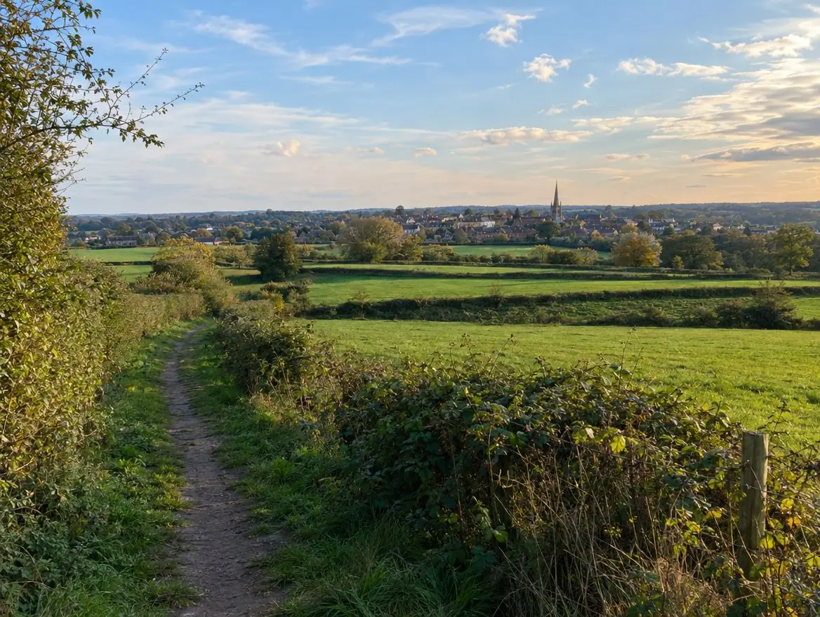
Land we buy in Leominster
Choose the type of land, or the way you'd like to sell, for details specific to this area.
Land with development potential
Rural and agricultural land
Plots and small sites
Brownfield and commercial land
Awkward and inherited land
Other towns around Leominster
Distances and directions are measured from Leominster.
| Town | Postcode district | OS grid square | Distance |
|---|---|---|---|
| Ludlow | SY8 | SO57 | 10 mi north |
| Hereford | HR1 | SO54 | 12 mi south |
| Loughton | IG10 | SO68 | 16 mi north-east |
| Great Malvern | WR14 | SO74 | 19 mi south-east |
| Stourport-on-Severn | DY13 | SO87 | 21 mi east |
| Worcester | WR1 | SO85 | 22 mi east |
What England's rules mean for your land
Planning framework
Planning decisions in England follow the National Planning Policy Framework, revised in August 2026, and the local plan, prepared by the council or, in a national park, the park authority. Plans are reviewed periodically, which is when new housing sites are usually allocated.
Flood risk
Environment Agency flood maps and the sequential test steer new homes away from areas at highest risk of flooding.
Land registration
Land in England is registered with HM Land Registry. Unregistered land needs first registration when it's sold, which your solicitor arranges.
What happens next
Send us the address
A postcode, a plan or a what3words location is enough to start.
We do the homework
We read the title and planning record and check flood risk and access.
We put an offer in writing
It shows how we got there. There's no obligation to accept.
The legal work
Your solicitor and ours handle the contract through to completion.
What people ask us about land
Do you cover the villages around Leominster?
Yes. Villages between Leominster, Ludlow and Hereford often have the kind of edge-of-settlement land we're looking for.
How do I get an offer for land in Leominster?
Use the form on this page or call 0800 088 6248. Tell us the postcode, the rough size and anything you know about planning, and we'll come back to you.
Who will I be dealing with?
Land is bought by S&K Property Investments and Improvement Ltd, part of the S&K Group, based in Great Barr, Birmingham.
What is an infill plot?
A small gap in an otherwise built-up frontage, usually between two existing buildings, that a new home could fill.
More of Herefordshire
Find out what we'd pay for your land near Leominster
Send the postcode and a rough size. We'll check the title and planning position and come back to you.