
Sell land in West Bromwich
Whether your land is in West Bromwich itself or in the villages between West Bromwich and Smethwick, we'll look at it properly before making any offer.
Our appraisals for West Bromwich start with the B70 postcode district and the OS grid square SP09, then widen out to Smethwick, Wednesbury and Tipton, all within about 3 miles.
- Free appraisal and written offer
- We tell you if we can't help
- Figures you can check
Selling land near West Bromwich?
Send the postcode and a rough size.
West Bromwich at a glance
Birmingham, Coventry, Wolverhampton and the Black Country, with extensive brownfield land and the West Midlands green belt around the edges.
| Town | West Bromwich |
|---|---|
| County | West Midlands |
| Country | England |
| Postcode district | B70 |
| OS grid square | SP09 |
| Nearest towns we cover | Smethwick (2 mi), Wednesbury (3 mi), Tipton (3 mi) |
| Distance from Birmingham | About 5 miles north-west |
| Planning system | National Planning Policy Framework and local plan |
| Ways to sell | Outright, subject to planning, option or joint venture |
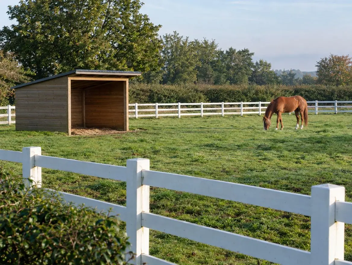
Land we buy in West Bromwich
Each page explains what we look for, what affects the price and the rules that apply.
Land with development potential
Rural and agricultural land
Plots and small sites
Brownfield and commercial land
Awkward and inherited land
Towns near West Bromwich
Distances and directions are measured from West Bromwich.
| Town | Postcode district | OS grid square | Distance |
|---|---|---|---|
| Smethwick | B66 | SP08 | 2 mi south-east |
| Wednesbury | WS10 | SO99 | 3 mi north-west |
| Tipton | DY4 | SO99 | 3 mi west |
| Dudley | DY1 | SO98 | 4 mi west |
| Walsall | WS1 | SP09 | 5 mi north |
| Birmingham | B1 | SP08 | 5 mi south-east |
Rules that apply in England
Planning framework
Planning decisions in England follow the National Planning Policy Framework, revised in August 2026, and the local plan, prepared by the council or, in a national park, the park authority. Plans are reviewed periodically, which is when new housing sites are usually allocated.
Brownfield first
National policy gives substantial weight to reusing suitable brownfield land for homes. Councils keep brownfield land registers, and some sites can gain permission in principle.
Flood risk
Environment Agency flood maps and the sequential test steer new homes away from areas at highest risk of flooding.
What happens next
Tell us about your land
Send the postcode or address and a rough size.
We do the homework
We read the title and planning record and check flood risk and access.
You get a written offer
With the main figures behind it, so your adviser can check it.
The legal work
Your solicitor and ours handle the contract through to completion.
Questions from landowners near West Bromwich
Do you cover the villages around West Bromwich?
Yes. Villages between West Bromwich, Smethwick and Wednesbury often have the kind of edge-of-settlement land we're looking for.
How do I get an offer for land in West Bromwich?
Use the form on this page or call 0800 088 6248. Tell us the postcode, the rough size and anything you know about planning, and we'll come back to you.
Do you buy land without planning permission?
Yes. You can sell outright at a price that reflects the planning risk, or on a subject-to-planning or option basis that pays more if permission is granted.
How do I know if my land is development land?
Ask three questions: does it sit next to existing homes, can a car get onto it safely from a public road, and is it outside the worst flood risk? If the answer to all three is yes, it is worth an appraisal. We will tell you honestly if we don't think homes are achievable.
Find out what we'd pay for your land near West Bromwich
Send the postcode and a rough size. We'll check the title and planning position and come back to you.