
Sell land in Whitefield
If you want to sell land in Whitefield, you can deal with the buyer directly. We look at the land, explain what it's worth and why, and leave the decision with you.
Our appraisals for Whitefield start with the M45 postcode district and the OS grid square SD80, then widen out to Radcliffe, Prestwich and Bury, all within about 3 miles.
- Four ways to sell
- We tell you if we can't help
- Figures you can check
Selling land near Whitefield?
Send the postcode and a rough size.
Whitefield at a glance
| Town | Whitefield |
|---|---|
| County | Greater Manchester |
| Country | England |
| Postcode district | M45 |
| OS grid square | SD80 |
| Nearest towns we cover | Radcliffe (1 mi), Prestwich (1 mi), Bury (3 mi) |
| Distance from Manchester | About 5 miles north-west |
| Planning system | National Planning Policy Framework and local plan |
| Ways to sell | Outright, subject to planning, option or joint venture |
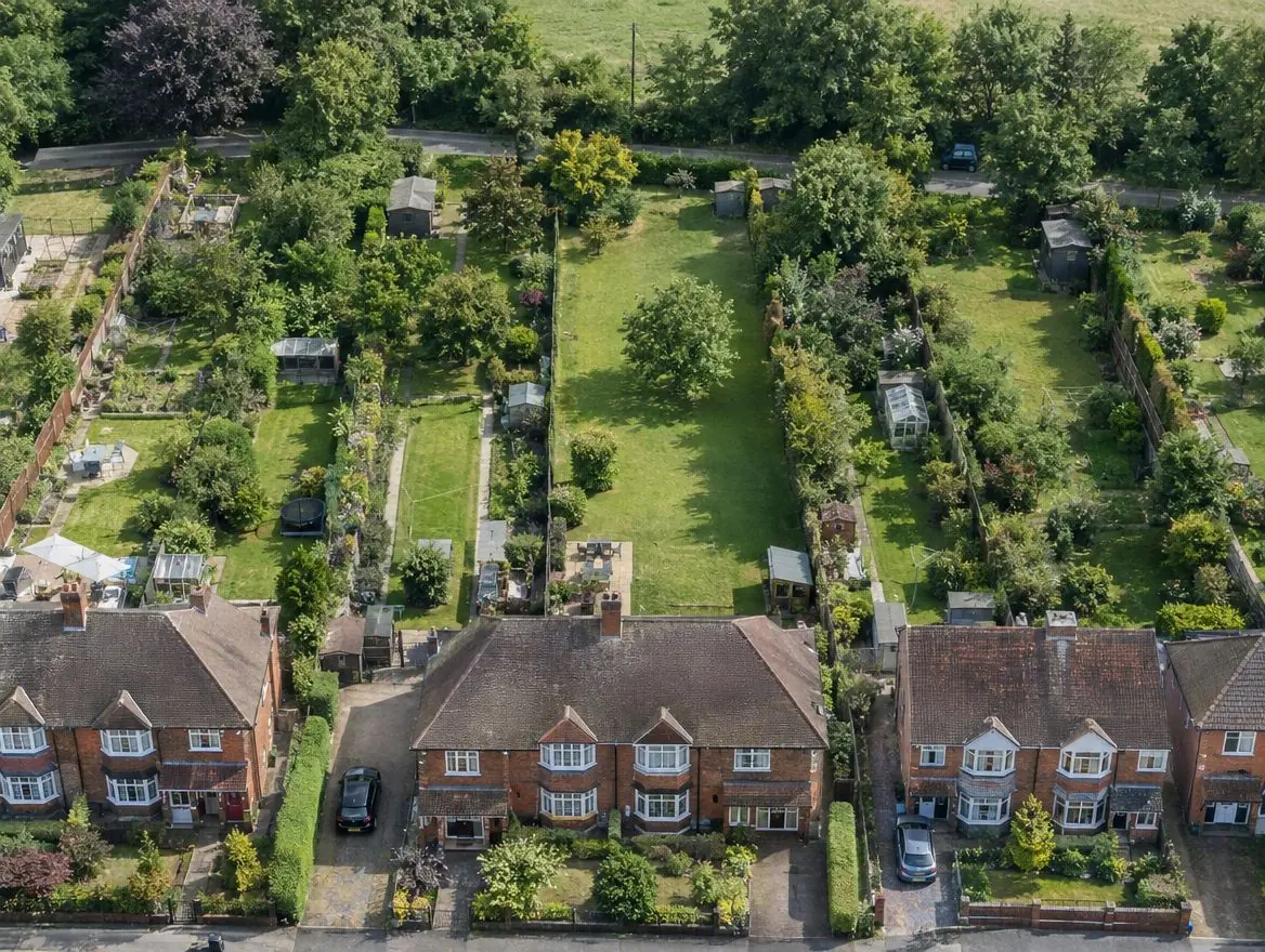
Land we buy in Whitefield
Choose the type of land, or the way you'd like to sell, for details specific to this area.
Land with development potential
Rural and agricultural land
Plots and small sites
Brownfield and commercial land
Awkward and inherited land
Rules that apply in England
Green belt and grey belt
Green belt land is protected from inappropriate development. National policy in England also recognises 'grey belt': green belt land that doesn't strongly contribute to key green belt purposes, where housing can be acceptable if further tests are met.
Brownfield first
National policy gives substantial weight to reusing suitable brownfield land for homes. Councils keep brownfield land registers, and some sites can gain permission in principle.
Flood risk
Environment Agency flood maps and the sequential test steer new homes away from areas at highest risk of flooding.
How a sale works
Tell us about your land
Send the postcode or address and a rough size.
We do the homework
We read the title and planning record and check flood risk and access.
We put an offer in writing
It shows how we got there. There's no obligation to accept.
The legal work
Your solicitor and ours handle the contract through to completion.
Common questions
Do you cover the villages around Whitefield?
Yes. Villages between Whitefield, Radcliffe and Prestwich often have the kind of edge-of-settlement land we're looking for.
How do I get an offer for land in Whitefield?
Use the form on this page or call 0800 088 6248. Tell us the postcode, the rough size and anything you know about planning, and we'll come back to you.
What happens to my information?
We use it to assess your land and contact you about it. Our privacy notice explains how it's stored and your rights.
Can garage sites be turned into homes?
Often, yes. Many councils support redeveloping underused garage courts, subject to access, overlooking and parking.
More of Greater Manchester
Find out what we'd pay for your land near Whitefield
Send the postcode and a rough size. We'll check the title and planning position and come back to you.