
Sell land in Atherton
Thinking about whether to sell land in Atherton? A free appraisal tells you what we'd pay and how we got there, with no obligation to go further.
Atherton (M46) sits in OS grid square SD60, some 11 miles west of Manchester. Sites between here and Tyldesley or Leigh are just as much of interest to us.
- No commission: we're the buyer
- We tell you if we can't help
- Figures you can check
Selling land near Atherton?
Send the postcode and a rough size.
Atherton at a glance
A dense urban core where most new homes are on brownfield land, with green belt on the edges climbing towards the Pennines.
| Town | Atherton |
|---|---|
| County | Greater Manchester |
| Country | England |
| Postcode district | M46 |
| OS grid square | SD60 |
| Nearest towns we cover | Tyldesley (1 mi), Westhoughton (2 mi), Leigh (2 mi) |
| Distance from Manchester | About 11 miles west |
| Planning system | National Planning Policy Framework and local plan |
| Ways to sell | Outright, subject to planning, option or joint venture |
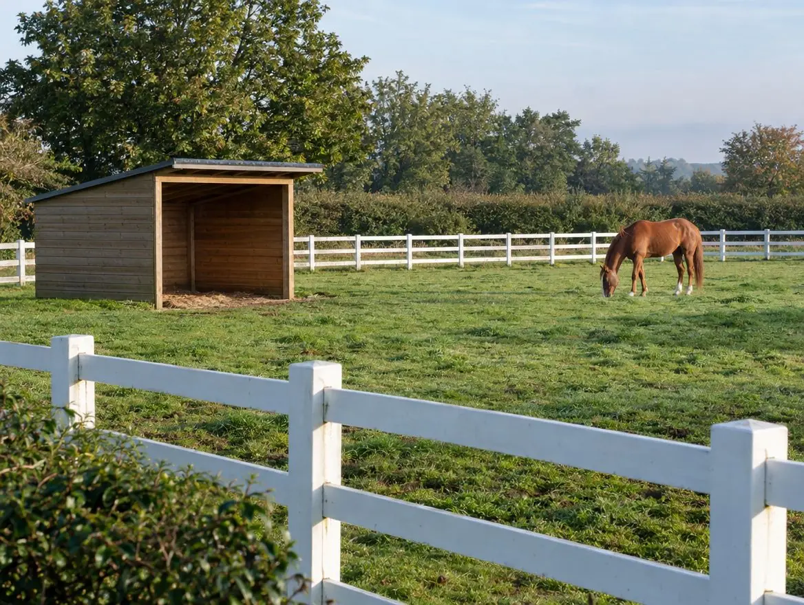
Land we buy in Atherton
Choose the type of land, or the way you'd like to sell, for details specific to this area.
Land with development potential
Rural and agricultural land
Plots and small sites
Brownfield and commercial land
Awkward and inherited land
Rules that apply in England
Brownfield first
National policy gives substantial weight to reusing suitable brownfield land for homes. Councils keep brownfield land registers, and some sites can gain permission in principle.
Flood risk
Environment Agency flood maps and the sequential test steer new homes away from areas at highest risk of flooding.
Tax on the sale
The buyer pays Stamp Duty Land Tax. As the seller you may owe capital gains tax, and some commercial land carries VAT. Take advice from an accountant.
What happens next
Send us the address
A postcode, a plan or a what3words location is enough to start.
We do the homework
We read the title and planning record and check flood risk and access.
You get a written offer
With the main figures behind it, so your adviser can check it.
Solicitors complete the sale
Exchange and complete, or exchange now and complete when planning is granted.
Questions from landowners near Atherton
Can you visit land near Atherton?
Yes. Once we've looked at the title and planning position, we arrange a site visit if the land looks suitable. Send the address or postcode to start.
Do you cover the villages around Atherton?
Yes. Villages between Atherton, Tyldesley and Westhoughton often have the kind of edge-of-settlement land we're looking for.
Do you buy land without planning permission?
Yes. You can sell outright at a price that reflects the planning risk, or on a subject-to-planning or option basis that pays more if permission is granted.
What is a rural exception site?
It is a small site, usually next to a village, where planning permission can be granted for affordable homes as an exception to normal policy, to meet a proven local need.
More of Greater Manchester
Find out what we'd pay for your land near Atherton
Send the postcode and a rough size. We'll check the title and planning position and come back to you.