
Sell land in Stafford
Thinking about whether to sell land in Stafford? A free appraisal tells you what we'd pay and how we got there, with no obligation to go further.
The land we're most interested in near Stafford sits on the edge of the built-up area or in the villages towards Rugeley (8 miles) and Cannock (9 miles).
- Four ways to sell
- No commission: we're the buyer
- Figures you can check
Selling land near Stafford?
Send the postcode and a rough size.
Stafford at a glance
Farmland, Cannock Chase National Landscape and part of the Peak District, with green belt in the south near the West Midlands and around Stoke-on-Trent.
| Town | Stafford |
|---|---|
| County | Staffordshire |
| Country | England |
| Postcode district | ST16 |
| OS grid square | SJ92 |
| Nearest towns we cover | Rugeley (8 mi), Cannock (9 mi), Burntwood (12 mi) |
| Distance from Stoke-on-Trent | About 14 miles south |
| Planning system | National Planning Policy Framework and local plan |
| Ways to sell | Outright, subject to planning, option or joint venture |
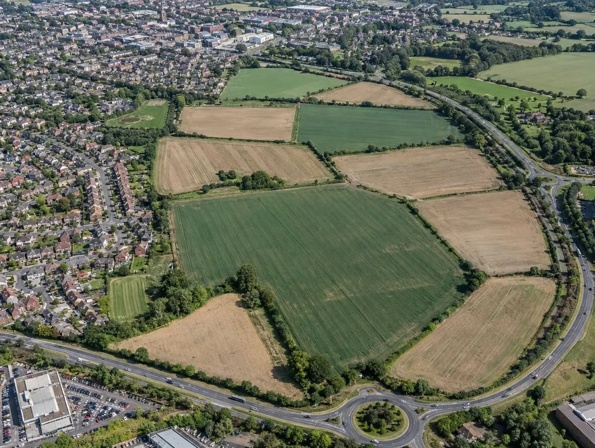
Land we buy in Stafford
Choose the type of land, or the way you'd like to sell, for details specific to this area.
Land with development potential
Rural and agricultural land
Plots and small sites
Brownfield and commercial land
Awkward and inherited land
What England's rules mean for your land
Green belt and grey belt
Green belt land is protected from inappropriate development. National policy in England also recognises 'grey belt': green belt land that doesn't strongly contribute to key green belt purposes, where housing can be acceptable if further tests are met.
Biodiversity net gain
Under the Environment Act 2021, most developments in England must deliver at least a 10% gain in biodiversity. Since 6 August 2026, sites of 0.2 hectares or less are exempt unless priority habitat is affected.
Flood risk
Environment Agency flood maps and the sequential test steer new homes away from areas at highest risk of flooding.
From first call to completion
Send us the address
A postcode, a plan or a what3words location is enough to start.
We check it properly
Title, planning history, access, flood maps and local policy.
You get a written offer
With the main figures behind it, so your adviser can check it.
Solicitors complete the sale
Exchange and complete, or exchange now and complete when planning is granted.
Your questions answered
Can you visit land near Stafford?
Yes. Once we've looked at the title and planning position, we arrange a site visit if the land looks suitable. Send the address or postcode to start.
How do I get an offer for land in Stafford?
Use the form on this page or call 0800 088 6248. Tell us the postcode, the rough size and anything you know about planning, and we'll come back to you.
Where do you buy land?
Across England and Wales. Planning rules differ between the two, and we take that into account in every appraisal.
Can a commercial site be redeveloped for housing?
Often, subject to the council's policies on protecting employment land, plus the usual planning tests.
Find out what we'd pay for your land near Stafford
Send the postcode and a rough size. We'll check the title and planning position and come back to you.