
Sell land in Ammanford
If you own land around Ammanford and want a straight answer about it, we'll tell you whether we can buy it, on what terms, and what the offer is based on.
Ammanford (SA18) sits in OS grid square SN61, roughly 14 miles east of Carmarthen. Sites between here and Pontarddulais or Gorseinon are just as much of interest to us.
- Four ways to sell
- No commission: we're the buyer
- Figures you can check
Selling land near Ammanford?
Send the postcode and a rough size.
Ammanford at a glance
| Town | Ammanford |
|---|---|
| County | Dyfed |
| Country | Wales |
| Postcode district | SA18 |
| OS grid square | SN61 |
| Nearest towns we cover | Pontarddulais (6 mi), Clydach (8 mi), Gorseinon (9 mi) |
| Distance from Carmarthen | About 14 miles east |
| Planning system | Planning Policy Wales and Local Development Plan |
| Ways to sell | Outright, subject to planning, option or joint venture |
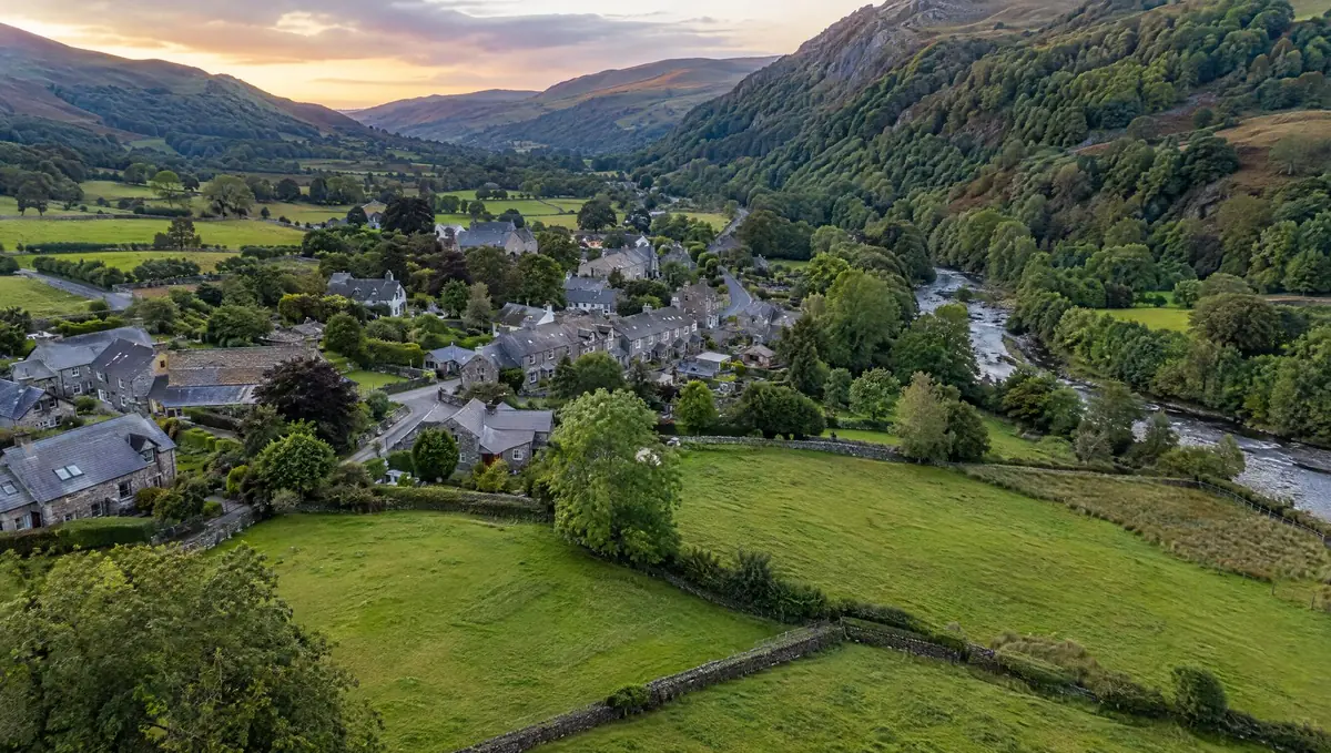
Land we buy in Ammanford
From building plots to larger sites on the edge of Ammanford.
Land with development potential
Rural and agricultural land
Plots and small sites
Brownfield and commercial land
Awkward and inherited land
Other towns around Ammanford
Distances and directions are measured from Ammanford.
| Town | Postcode district | OS grid square | Distance |
|---|---|---|---|
| Pontarddulais | SA4 | SN50 | 6 mi south |
| Clydach | SA6 | SS69 | 8 mi south-east |
| Gorseinon | SA4 | SS59 | 9 mi south |
| Ystalyfera | SA9 | SN70 | 9 mi east |
| Llanelli | SA15 | SN50 | 11 mi south-west |
| Neath | SA11 | SS79 | 12 mi south-east |
Planning and legal points for land in Dyfed
Green belts and green wedges
England's grey belt rules don't apply in Wales. Planning Policy Wales sets out green belt and green wedge policy, which strongly restricts development.
Biodiversity
Wales doesn't use England's 10% net gain metric. Planning Policy Wales expects development to deliver a net benefit for biodiversity.
Flood risk
Natural Resources Wales flood maps and Technical Advice Note 15 guide where new homes can go. Phosphate limits in some river catchments have also affected new housing.
How a sale works
Send us the address
A postcode, a plan or a what3words location is enough to start.
We do the homework
We read the title and planning record and check flood risk and access.
You get a written offer
With the main figures behind it, so your adviser can check it.
Solicitors complete the sale
Exchange and complete, or exchange now and complete when planning is granted.
Your questions answered
Can you visit land near Ammanford?
Yes. Once we've looked at the title and planning position, we arrange a site visit if the land looks suitable. Send the address or postcode to start.
How do I get an offer for land in Ammanford?
Use the form on this page or call 0800 088 6248. Tell us the postcode, the rough size and anything you know about planning, and we'll come back to you.
What happens to my information?
We use it to assess your land and contact you about it. Our privacy notice explains how it's stored and your rights.
What is a rural exception site?
It is a small site, usually next to a village, where planning permission can be granted for affordable homes as an exception to normal policy, to meet a proven local need.
Find out what we'd pay for your land near Ammanford
Send the postcode and a rough size. We'll check the title and planning position and come back to you.